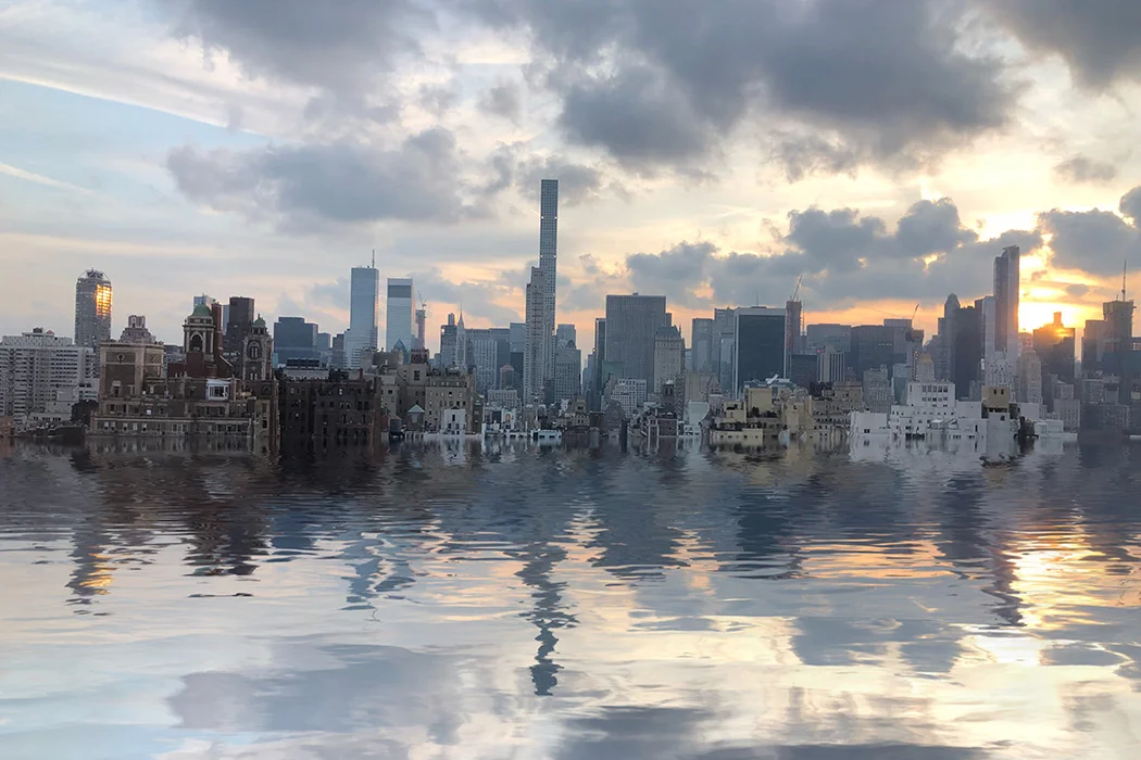
The fate of Atlantis displayed various symptoms before its downfall: treacherous storms, incessant flooding and the destruction of the magnificent structures built by the island’s indigenous inhabitants. The story of New York City may be even bleaker.
According to sealevelrise.org, a site dedicated to “enlightening and enabling elected officials to implement widespread solutions to sea level rise,” sea levels off the coast of New York have risen nine inches compared to the levels in the 1950s. The rate has accelerated frighteningly over the past decade, with an inch gained every eight years. This poses a significant threat to numerous waterfront properties in New York City as tidal flooding now puts over 300,000 properties at risk, and the city is scrambling to take proactive measures to prevent further damage.
New York is dangerously positioned as an island in the Hudson River Bay. In 2012, Hurricane Sandy promised to rage and destroy everything in its wake and stayed true to its convictions. Up to that point, the city had never weathered a storm that severe and the devastating impacts only spoke to how unprepared the city and its people were for it. In the aftermath, the city of New York released a report detailing the course of the storm and its impacts, identifying coastal flooding as the biggest risk New York City faces today.
The hurricane led to 43 deaths, with thousands being moved out of hospitals due to flooding. Hurricane Sandy also caused unprecedented structural damage to the city, particularly in housing areas near the water, exposing the area’s vulnerability. According to the City of New York’s report on the storm, 90,000 buildings were left in the inundation zone. In some instances, such as in Coney Island, the water level was 11 feet above ground level.
On Canal Street, many bustling vendors attempt to peddle their goods to a flood of tourists. The street slopes with a sharp incline and falls into the sleek glass landscape of the Financial District, though none of these rushing groups of people consider that the streets are meant to funnel a different kind of flood. Canal Street’s namesake is extremely literal as the street was once meant to be a waterway that allowed the city’s flooded run-off to find its way straight to the Hudson. Today, however, the proposed notion has been abandoned, leaving only the name.
This waterway was one of many ways that the city has attempted to reduce flooding in the past. However, the possible success of structures like Canal Street has been impeded by the nature of the cityscape, as suggested by the NYC Mayor’s Office of Climate and Environmental Justice. The lack of green spaces and the abundance of artificial materials, such as concrete and asphalt, contribute to the problem by forcing the water to accumulate on streets with no way to drain. In its natural state, the island of New York absorbs water through the ground, mitigating many of the effects of flooding.
With many historic and old structures lacking the ability to incorporate new infrastructure to address flood-prone areas, the most vulnerable parts of the city become increasingly perilous. This situation is exacerbated by the fact that most New Yorkers do not have flood insurance for their properties, leaving these homes permanently damaged after floods. Although the city has consistently responded with helpful strategies to preserve these vulnerable neighborhoods in times of crisis, preemptive measures still leave much to be desired in the realm of mitigation.
New York City is a dear home to millions of citizens where many locals have taken awareness into their own hands. Eve Mosher, founder of the HighWaterLine project, created a performance piece in 2007 mapping out where a hypothetical water line rise would end up and drew it with chalk. The project was born out of frustration around the lack of education surrounding the rising sea levels.
When asked about her inspiration in an interview with ClimateMusic, Mosher states, “That anger was a great motivator and got me working very directly on climate impacts. A long-time collaboration with artist Heidi Quante inspired me to work in and with communities and weaving in the storytelling aspects.”
The information needed for the mapping was gathered by Mosher herself using statistical mapping and anecdotes from locals. The line of chalk went through 70 miles of coastline and often cut through and around people’s properties. This served as a visual piece of performance art that brought the reality of these effects directly to the people. When Hurricane Sandy hit, the water line rose to nearly exactly the calculated levels drawn. Today, Mosher uses this project and her newfound platform to continue to raise awareness and plans to do more performance art pieces like this in the future.


